
All photographs on this page were taken by Joe Roberts except where noted.
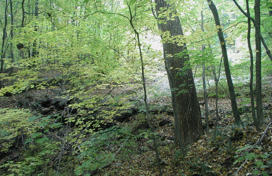
 Upper Reservoir The Upper Reservoir that used to provide water to the center of town (I believe). This is located on the south end of Mountain Rd. and is still on the property of the Wilbraham Academy. The water was apparently used for horses to drink at the town center(?). Not sure how deep this water is, probably less than about 6 feet at maximum. The old dam is seen in the left foreground, as well as part of the water control gate.
 Upper Reservoir Another view of the Upper Reservoir. Compare this modern view to the same view on the Old Photos page! At a casual glance one would not recognize them as being the same shot separated by about 110 years...
 Upper Reservoir A modern winter (snowless) view of the Upper Reservoir. Compare this modern view to the same view on the Old Photos page! At a casual glance one would not recognize them as being the same shot separated by about 110 years...
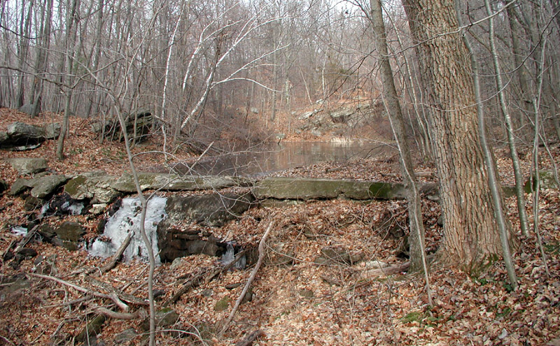
 Upper Reservoir A different view of the old Upper Reservoir. This view is from below looking up at the dam. The dam is in bad shape, although there is no threat of flood if it were to break (there is not that much water being held back because most of the reservoir has become filled with silt over the years). The large pipe leading away from the dam carried water down to the Academy (I believe). Not sure where it came out, but it crosses Mountain Rd. at the small rise just past the Academy fields.
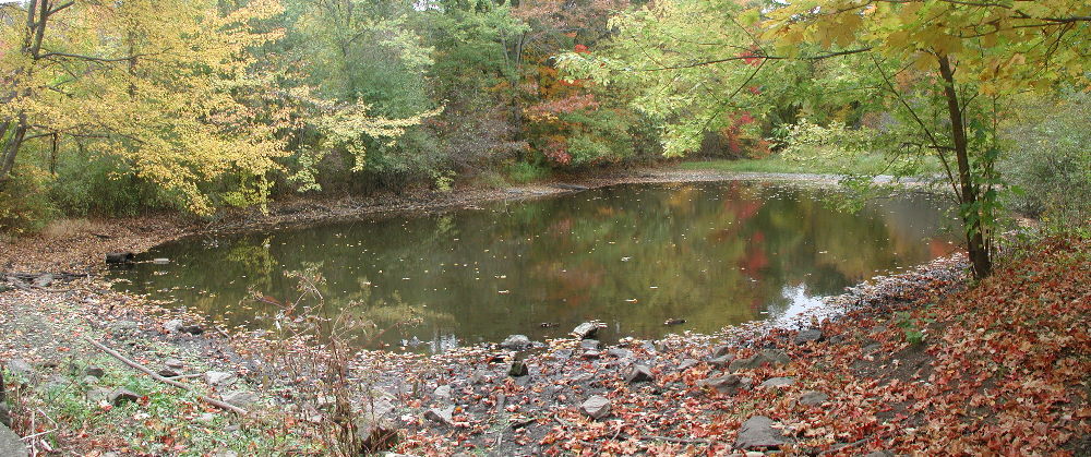 Lower Reservoir A view of the Wilbraham Academy Lower Reservoir as it looks in Autumn of 2001. The dam is out of the view (to the left) and is in bad shape (a good sized section is washed out). Still, this is a very scenic area Compare to the photo of this same area in 1890 on the Old Photos page.
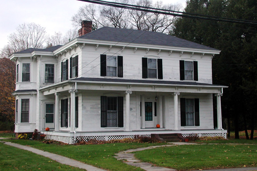
 Danforth House The Danforth House on Mountain Rd, built in 1769.
 Tupper House The Tupper House on Mountain Rd, just south of Glendale on the west side of the road.
 General Store General Store (formerly the Post Office) at the center of town.
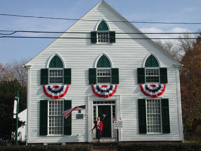 Old Meeting House The Old Meeting House at the center of town, built in 1793.
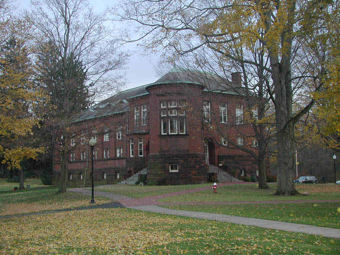 Academy Gymnasium An autumn 2002 view of the Gymnasium building of the Wilbraham Academy. Building erected around 1890 for the cost of around $46,000.
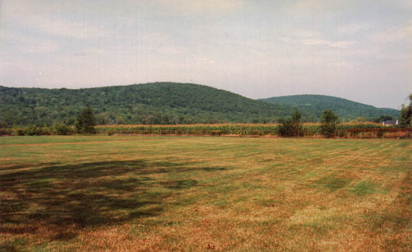
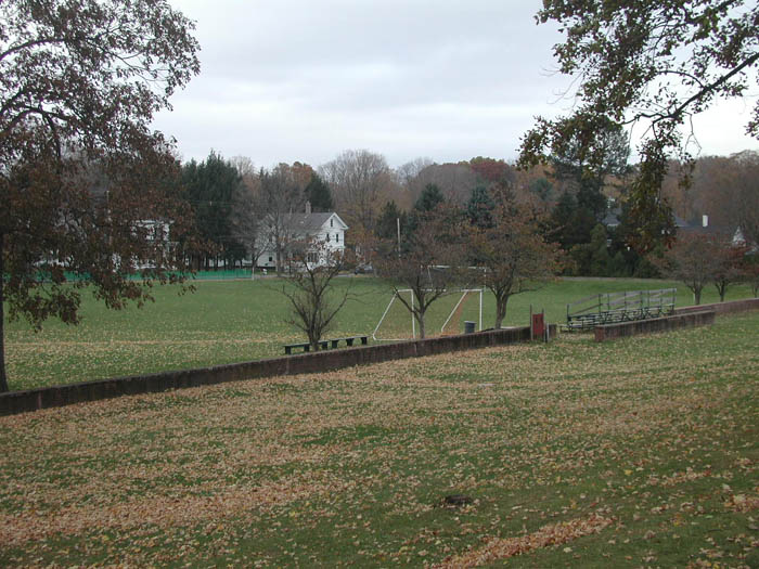 Academy Athletic Field A modern view (looking to the north west) of the Academy athletic field. Compare this modern view to the same one taken around 1890 on the Old Photos page!
 Wilbraham Academy A view of the Wilbraham Academy looking to the southwest. Compare this view to the same one from about 1890 on the Old Photos page!
 Veteran's Memorial A photo of the unveiling of the Veteran's Memorial on 12 November 2002. I have many more photos of this event and eventually will set up a separate page for this event.
 Glendale Cemetery A photo of part of Glendale Cemetery. As a young boy I used to trim grass (with hand shears, no weedwackers back then) around these stones.
 Wilbraham Mountain as seen from the back area of Glendale Cemetery. 1983 photograph.
 Glendale Church Fire Damage caused to Glendale Church due a fire started intentionally by some teen punks. Fortunately, the damage was not beyond repair, the church was restored and is in use to this day. December 1980 photograph.
 Large Old Home on Main Street One of the larger old homes along Main Street, not far from the center of town. 1981 photograph.
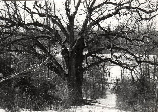 Memorial School Oak Tree A shot of the large oak tree at Memorial School. This tree was along the path on the trail that lead from the school down to the lower playing field.
 Memorial School A 1981 shot of Memorial School looking from Main Street..
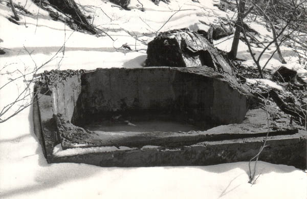 Old Well Here is a shot of an old well located on the mountain behind Memorial School. Not sure what this was used for, certainly it is no longer used today. It has been partially filled with debris over time.
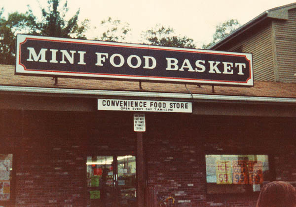 Mini Food Basket Storefront A shot of the old Mini Food Basket store that used to be where the DB Mart is now located.
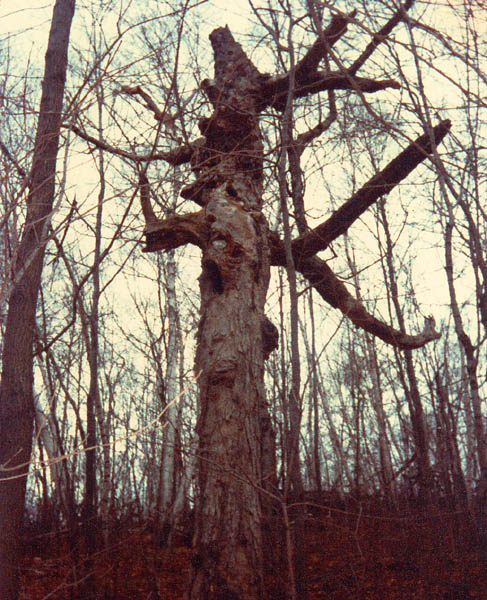 The "Poltergeist" Tree A picture of a very spooky looking tree that used to stand on the east side of Wilbraham Mountain (off the back of what is now Webster Lane). This tree is so named because it looked a lot like the tree that attacked people in the movie Poltergeist. This photo is from 1980, the tree is no longer standing (fell down around 1998). The size and shape of this tree indicates that it was one that was likely a "shade tree" on the mountain at the time it was mostly clear. Walking around the mountain, one can see remnants of giant tree trunks and stumps; these are the remains of such trees. Many years ago, much of the mountain was clear of trees (except for occasional trees such as the one presented here). Most of the mountain has long since grown back. There are relatively few large oak trees, an indication that the forest that is present today is not all that old.
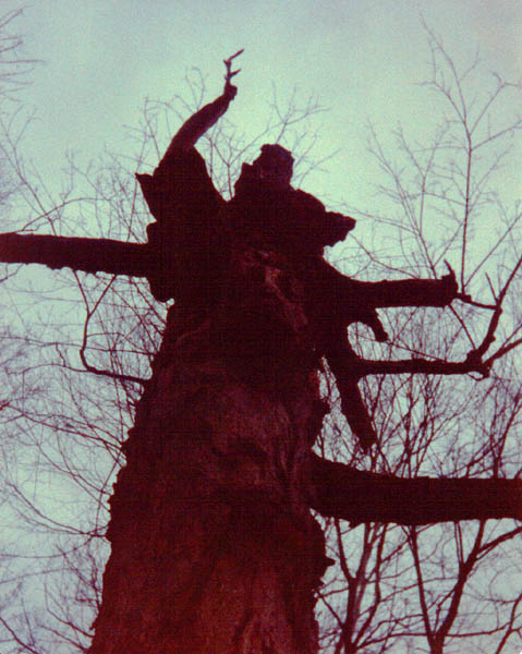 The "Poltergeist" Tree Another shot of the scary looking Poltergeist tree. The branch at the upper left looks a lot like an angry arm reaching up to strike down!
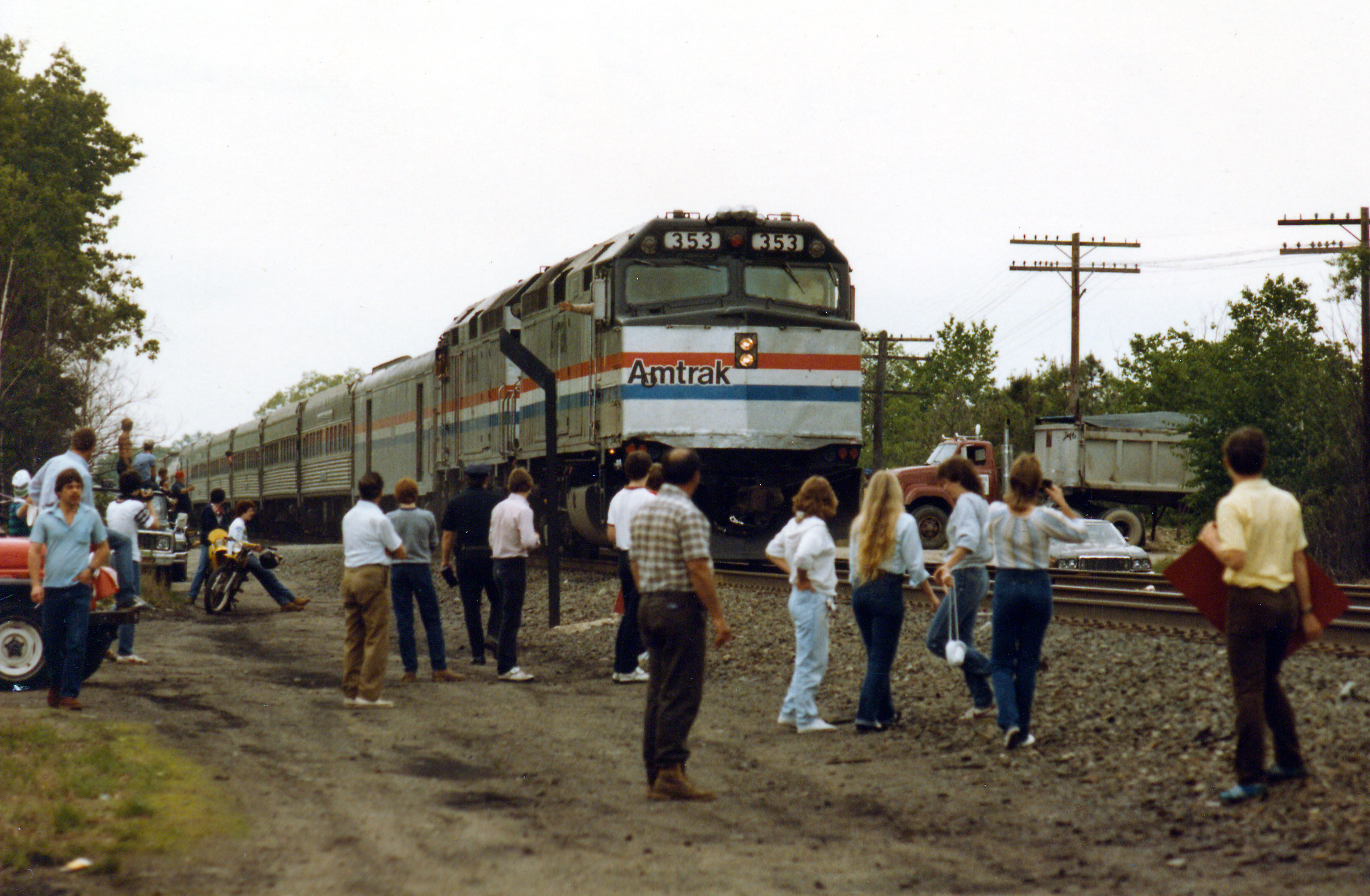 The "Real People" Train A shot of the train that passed through Wilbraham carrying the cast and crew of the TV Show "Real People". The Real People train was making a cross country venture and Wilbraham was one of the towns it passed through. It made a stop in Springfield MA and also Boston if I recall correctly. About 150 to 200 people gathered along the tracks (near Railroad Ave) for this event. Greg Lockhart (the barber) was planning to cut Skip Stevenson's hair, however the train did not make the unscheduled stop. 24 May 1983 photo.
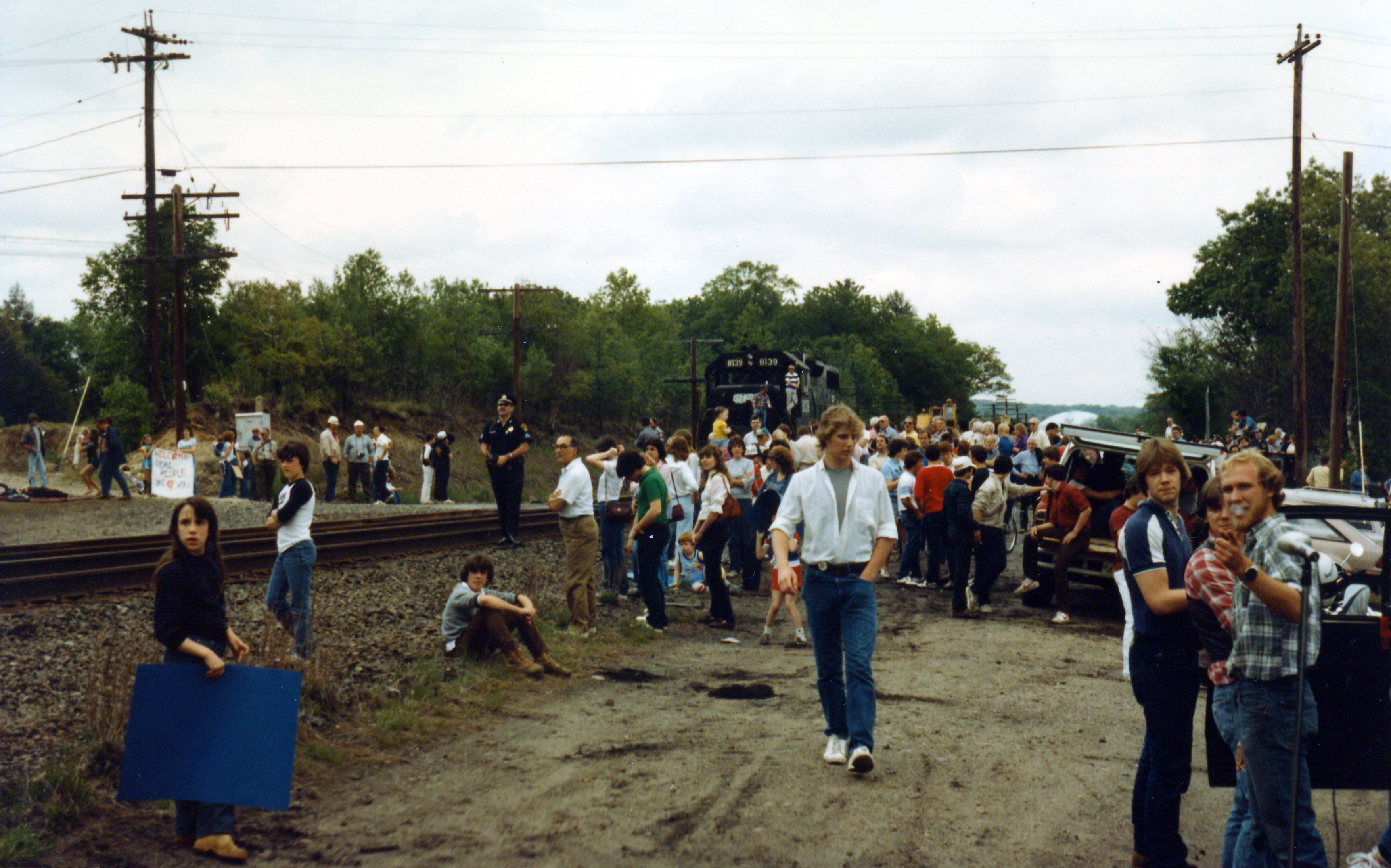 The "Real People" Train Another shot of the "Real People" train event. 24 May 1983 photo.
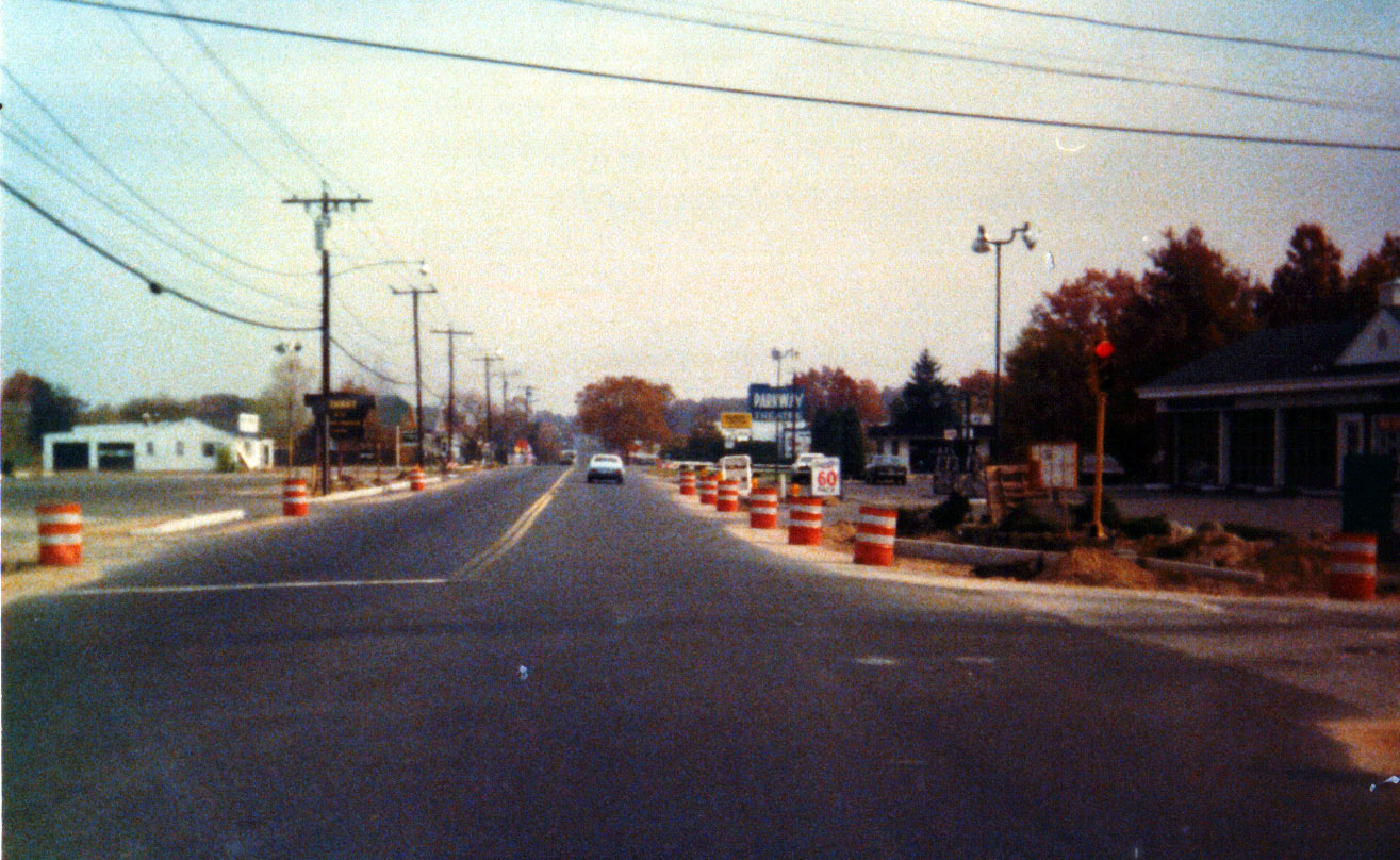 Junction of Boston Rd. and Stony Hill Rd, 1979 A shot of the intersection of Boston Rd. and Stony Hill Road, looking east. Up on the right the old Parkway Drive In theater can be seen. Also in this photo (although not clearly seen in this web based version) the sign in front of the gas station is advertising the price for a pack of cigarettes: 60 cents! This is a shot from a 110 camera so the resolution is not so great by today's standards.
 Old Campground Building A shot of one of several old camp building that used to exist on Wilbraham Mountain, shot taken looking to the north west. The area where these buildings were is near the first rise in what is now Webster Lane. Years ago, the road that is now Webster Lane was a narrow, dirt road. Those who ventured up this road came upon 3 or 4 buildings about 1000 feet back from Ridge Road. I do not know the exact history of this site, however the nature of the buildings and surroundings sure look like an old campground. I would guess that they were used during the 1930-1950 time period, but I cannot say for certain. In the late 1960's and early 1970's a group of "hippies" used to live in these buildings. Loud rock music could be heard drifting down the mountain on warm summer nights. Certainly a lot of drinking and partying was going on. There as also an arrest on this site in the early 70's, people were caught growing a crop of pot (the area was quite secluded and private compared to what it is today). Most of the buildings were in very bad shape when I first explored them in the early to mid 1970's. This photo and the similar ones that follow were taken in 1980 using a 110 camera (not the best quality but better than nothing).
 Old Campground Building Another shot of the building shown just above. The tall object at the left is an old flagpole.
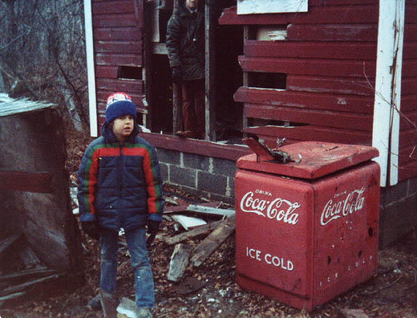 Old Campground Building An old Coke refrigerated case at this site. One of these machines in good shape today would fetch a fair price from a collector!.
 Old Campground Building A shot of one of the other buildings at the (presumed) old campground. This building was located a little higher up on the hill. Not far from here was an old bottle dump.
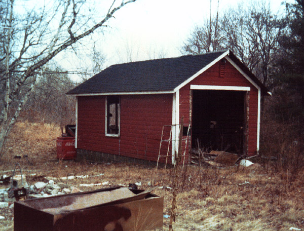 Old Campground Building An old garage building that was on the site of the old (presumed) campground. The old Coke machine was located behind this building.
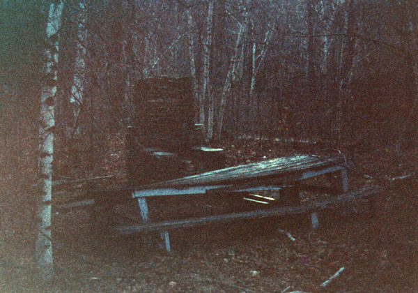 Old Campground Fireplace A poor quality shot, however it is the only one I have of this area. This shows the old stone fireplace and picnic table located not far from the main building. Also on this site was a fairly large flagpole.
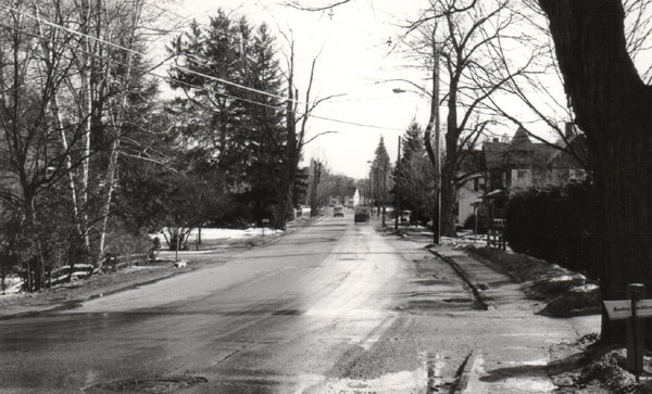 Main Street, 1982 A shot looking south along Main Street, this photo was taken from near the entrance of Wright Place. Off in the distance the Old Meeting House can be seen.
 The "Drug House" The house that became known as the "Drug House", located at the corner of Ridge and Monson Roads. This 1981 shot shows the house nearing completion. This house gained notoriety in town as it was rumored to have been built with funds from the sale of illegal drugs. Believe that is was covered by several of the local news channels back then.
 The Old Meeting House with a New Roof The Old Meeting House got a new roof in the summer of 2003!
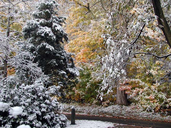 Early Snow on Wilbraham Mountain An early snowfall (about 1.5" deep) occurred on Wilbraham Mountain on 23 October 2003. Most of the fall foliage was still on the trees. It is not often that such a photo opportunity presents itself!
 Clock and Bell Tower Clock and bell tower of the Wilbraham & Monson Academy chapel building, originally known as the Memorial Methodist Episcopal church of Wilbraham. Bell cast in 1881 by Clinton H. Meneely of Troy, New York to replace the original one which cracked. The carillon, however, is electronic and features the digitally
sampled sound of real bells, including hour strike with automatic night shutoff. 2002 photo by Jeffrey R. Wood. (Information also provided by J. Wood)
.
Clock and Bell Tower Clock and bell tower of the Wilbraham & Monson Academy chapel building, originally known as the Memorial Methodist Episcopal church of Wilbraham. Bell cast in 1881 by Clinton H. Meneely of Troy, New York to replace the original one which cracked. The carillon, however, is electronic and features the digitally
sampled sound of real bells, including hour strike with automatic night shutoff. 2002 photo by Jeffrey R. Wood. (Information also provided by J. Wood)
.
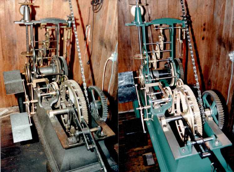 Clock Works from Methodist Church Clock works at the Academy chapel, shown before and after their 1993 restoration by Jeffrey R. Wood of Wilbraham. Made by E. Howard & Co. of Boston and presented by Abraham Avery in 1871 to the Memorial Methodist Episcopal Church of Wilbraham. Photos by Steve Gray of the Wilbraham & Monson Academy Faculty. (Information provided by J. Wood).
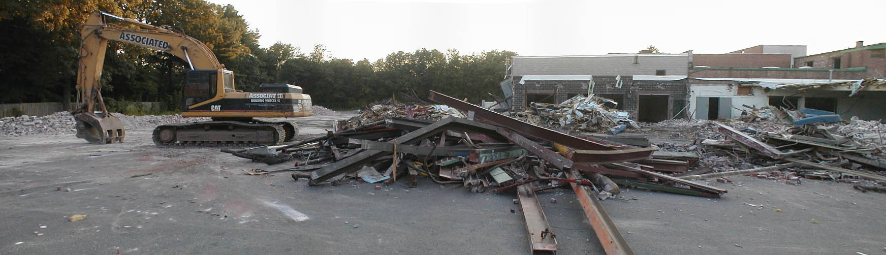 Goodbye State Line Potato Chips A photo of the State Line Potato Chip factory being demolished.
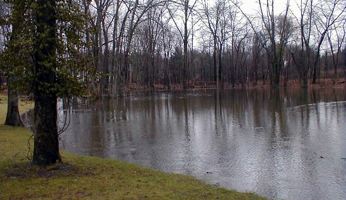 Bruuer Pond Fairly High Water in Bruuer Pond, March 2000.
 Whale Rock An outcropping of rock on Wilbraham Mountain that looks remarkably like a whale!
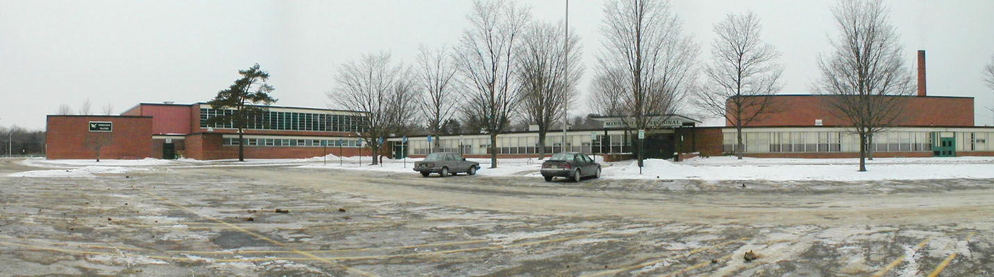 Minnechaug Regional High School A cold winter panoramic view of the front of Minnechaug, January 2000.
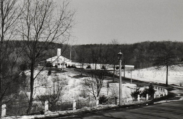
 Minnechaug Entrance The main entrance of Minnechaug, January 2000.
 Village Store The Village Store (photo credit: unknown). (Anyone know who the person is and when this photo was taken?)
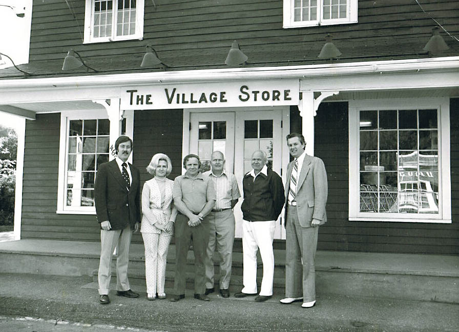 Village Store Visitors to this site identify the man on the far right as Don Flannery. Another visitor notes that the person second from the right is Rudy Schultz (he owned the store). Just to the left of Rudy is Maity Schultz, Rudy's older brother (both are buried in Glendale Cemetary). (photo credit: unknown)
 Stairs to Academy Looking east from Main Street, up the stairs to some of the other Academy buildings. November 2002 photo.
 Carmon Cleaners The Carmon Cleaners building (in the same buidling as the Village Store at the center of town). November 2002 photo.
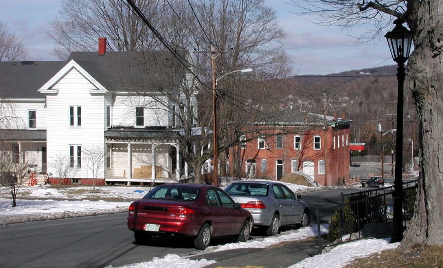
 Main Street House One of the houses on Main St. near the center of town. November 2002 photo.
 Academy House The house just north of Rich Hall at the Acedemy. November 2002 photo.
 Main St. House One of the houses on Main St. near the center of town. November 2002 photo.
 Nellie Star House Here's a modern (November 2002) view of the Nellie Star House on Main St (not far from the Academy). See what the house used to look like (taken from a different angle): Older image of Nellie Star House.
 House Near Town Center The house across from the back at the center of town. November 2002 photo.
 Chapel St. Looking north from the top of Chapel St. November 2002 photo.
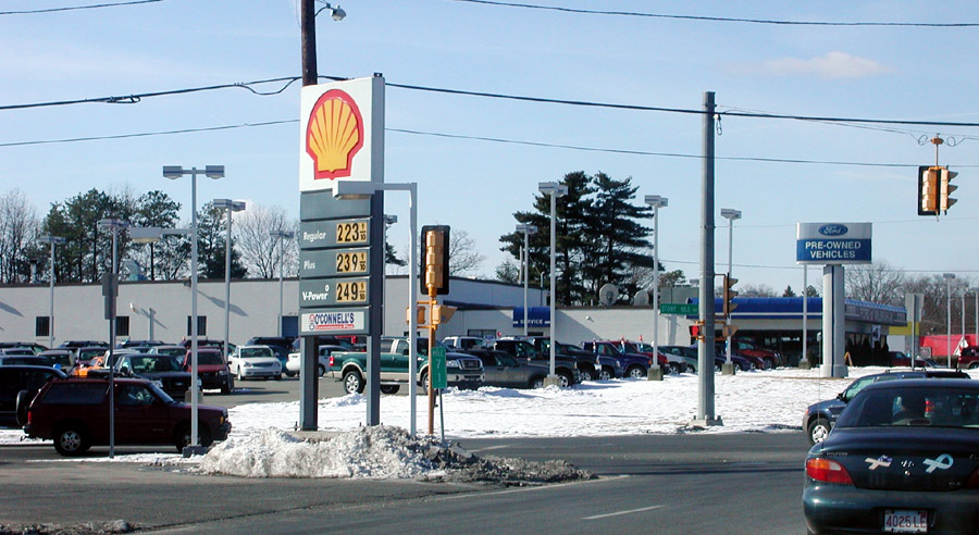 Rt. 20 and Stony Hill Intersection The intersection of Stony Hill and Boston Rd. November 2002 photo.
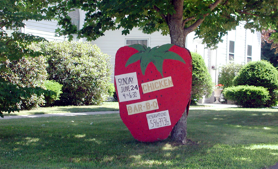 Grace Union Church Chicken Barbeque Sign This is the sign that Grace Union has used to advertise their annual Chicken Barbeque each year.
 Railroad Culvert This is a modern shot of the rebuilt culvert (this is where 12 Mile Brook goes under the railroad tracks along Rt 20). This was constructed right after the 1955 flood, the original culvert had been totally washed out. This is the Rt 20 side of the culvert. 18 Nov 2000 photo.
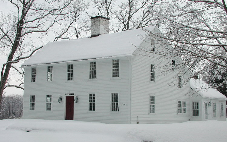
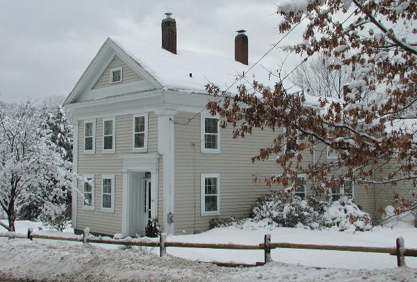
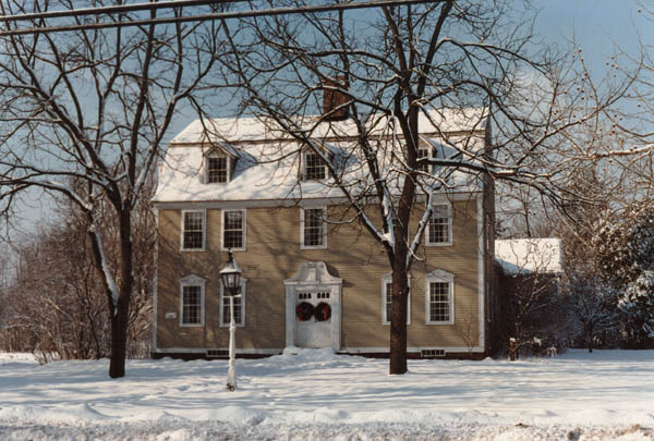
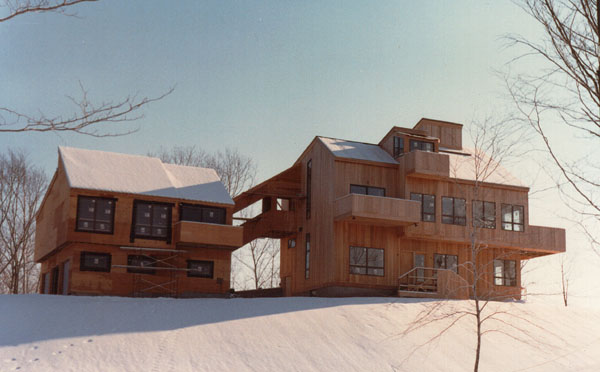
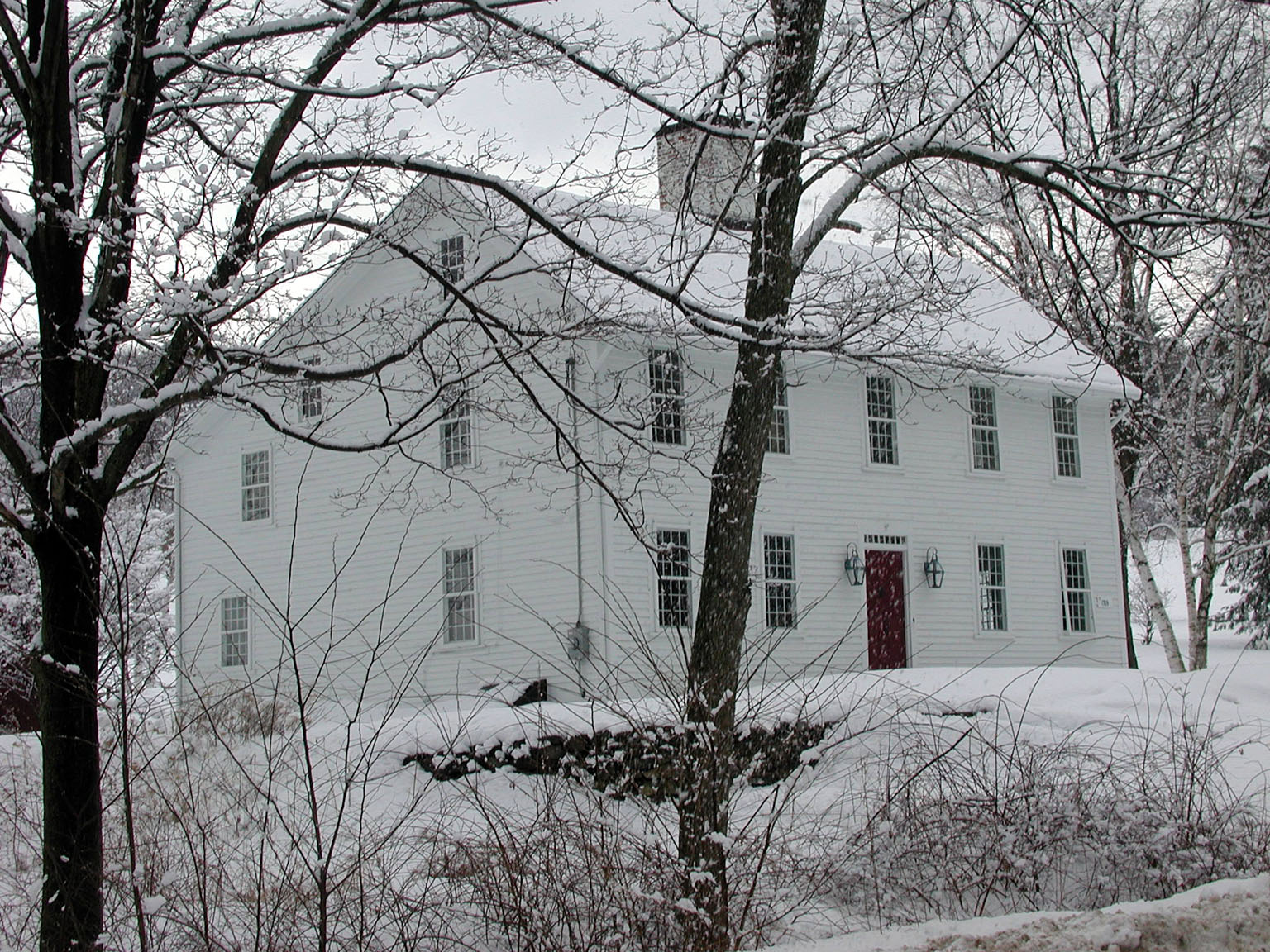 Danforth House in Winter of 2000 A scenic shot of the historic Danforth house (on Mountain Rd) from March 2000..
More photos coming!